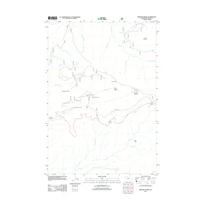
2012 Map of Medicine Wheel
USGS Topo · Published 2012About this map
Medicine Wheel sits atop a high ridge in this 2012 survey of the Bighorn National Forest, representing a vital sacred site for numerous Northern Plains Tribes. The landscape is defined by dramatic elevation changes, rising toward Medicine Mountain and Cone Mountain. This high-country terrain is drained by a network of steep canyons and watercourses, including Porcupine Cr, which drops into Porcupine Falls, and the winding Crystal Cr in the southern reaches.
Find a feature on this map
25 named features on this map. Tap any name to fly to it.
Don’t see what you’re looking for? This feature index may not catch every label — zoom into the map to look around manually.
Map Details
Editions of this 2012 Medicine Wheel Map
This is the sole edition of this map. No revisions or reprints were ever made.
Other maps of this area

1898 · Bald Mountain
USGS Topo · 1:125,000

1901 · Bald Mountain
USGS Topo · 1:125,000

1955 · Cody
USGS Topo · 1:250,000

1955 · Sheridan
USGS Topo · 1:250,000

1958 · Cody
USGS Topo · 1:250,000

1958 · Sheridan
USGS Topo · 1:250,000

1960 · Medicine Wheel
USGS Topo · 1:24,000

1960 · Boyd Ridge
USGS Topo · 1:24,000

1960 · Mexican Hill
USGS Topo · 1:24,000

1960 · Bear Creek Ranch
USGS Topo · 1:24,000