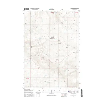
2015 Map of Medicine Wheel
USGS Topo · Published 2015About this map
Medicine Wheel sits atop the high slopes of Medicine Mtn, a sacred site and archaeological landmark within the Bighorn National Forest. This high-altitude landscape is defined by its dramatic elevation changes, dropping from the heights of Cone Mtn into the deep incisions of Devil Canyon and Cottonwood Canyon. The drainage patterns are intricate, with Porcupine Cr feeding Porcupine Falls and the headwaters of Crystal Cr flowing past Petes Hole. Human impact on the land is represented by the winding path of Old US-14A and the presence of the North and South Reservoir. The survey also documents family-named landmarks like Lowmiller Bench and Fillers Hole, providing valuable context for regional history and land use in this part of Big Horn County.
Find a feature on this map
33 named features on this map. Tap any name to fly to it.
Don’t see what you’re looking for? This feature index may not catch every label — zoom into the map to look around manually.
Map Details
Editions of this 2015 Medicine Wheel Map
This is the sole edition of this map. No revisions or reprints were ever made.
Other maps of this area

1898 · Bald Mountain
USGS Topo · 1:125,000

1901 · Bald Mountain
USGS Topo · 1:125,000

1955 · Cody
USGS Topo · 1:250,000

1955 · Sheridan
USGS Topo · 1:250,000

1958 · Cody
USGS Topo · 1:250,000

1958 · Sheridan
USGS Topo · 1:250,000

1960 · Medicine Wheel
USGS Topo · 1:24,000

1960 · Boyd Ridge
USGS Topo · 1:24,000

1960 · Mexican Hill
USGS Topo · 1:24,000

1960 · Bear Creek Ranch
USGS Topo · 1:24,000