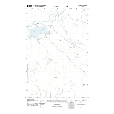
2011 Map of Medimont
USGS Topo · Published 2011About this map
Medimont serves as the focal point of this northern Idaho landscape, situated where the Coeur d'Alene River meets a complex of wetlands including Cave Lake, Medicine Lake, and Swan Lake. The terrain rises sharply from the river valley into several significant peaks, such as Medicine Mountain and Rainy Hill, the latter of which features the Rainy Hill Campground. This topographic survey captures the area's mix of recreation and industry, identifying the New Rainbow Mine and Old Rainbow Mine located along Evans Creek toward the eastern boundary.
Find a feature on this map
43 named features on this map. Tap any name to fly to it.
Don’t see what you’re looking for? This feature index may not catch every label — zoom into the map to look around manually.
Map Details
Editions of this 2011 Medimont Map
This is the sole edition of this map. No revisions or reprints were ever made.
Other maps of this area

1903 · Rathdrum
USGS Topo · 1:125,000

1909 · Cataldo
USGS Topo · 1:125,000

1911 · Cataldo
USGS Topo · 1:125,000

1950 · Rochat Peak
USGS Topo · 1:24,000

1952 · Rochat Peak
USGS Topo · 1:24,000

1955 · Spokane
USGS Topo · 1:250,000

1957 · St. Maries
USGS Topo · 1:62,500

1957 · Kingston
USGS Topo · 1:62,500

1957 · Lane
USGS Topo · 1:62,500

1957 · St. Joe
USGS Topo · 1:62,500