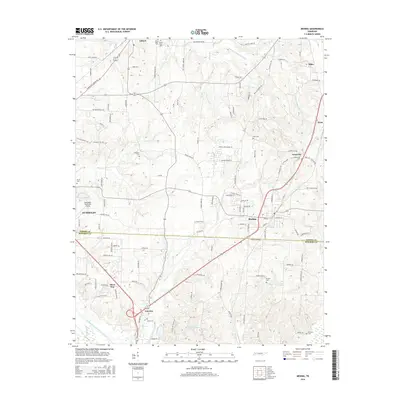
2016 Map of Medina
USGS Topo · Published 2016About this map
The boundary between Gibson Co and Madison Co bisects a landscape defined by small agricultural settlements and the branching headwaters of the Forked Deer River system. Medina serves as a central hub, flanked by smaller named locales like Goat City, Fairview, and Three Way. The area is notably dense with family-named cemeteries such as White Rose Cem, Centerville Cem, and Mariah Cem, which serve as vital markers for genealogical research in this part of West Tennessee.
Find a feature on this map
121 named features on this map. Tap any name to fly to it.
Don’t see what you’re looking for? This feature index may not catch every label — zoom into the map to look around manually.
Map Details
Editions of this 2016 Medina Map
This is the sole edition of this map. No revisions or reprints were ever made.
Other maps of this area

1950 · Jackson North
USGS Topo · 1:24,000

1951 · Jackson North
USGS Topo · 1:24,000

1951 · Trenton
USGS Topo · 1:24,000

1952 · Milan
USGS Topo · 1:24,000

1953 · Claybrook
USGS Topo · 1:24,000

1956 · Blytheville
USGS Topo · 1:250,000

1959 · Medina
USGS Topo · 1:24,000

1959 · Blytheville
USGS Topo · 1:250,000

1959 · Adair
USGS Topo · 1:24,000

1959 · Humboldt
USGS Topo · 1:24,000