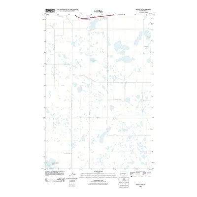
2011 Map of Medina SW
USGS Topo · Published 2011About this map
Crystal Springs Cemetery sits in the northern section of this landscape, marking a point of rest in a region defined by its numerous prairie potholes and glacial depressions. The terrain is characterized by an intricate network of small water bodies and seasonal wetlands, with named features including Chokecherry Lake and the aptly named Stink Lake. To the southwest, the Lake George North Unit provides a preserved space near the waters of Lake George, which is regulated by the Lake George Dam. The human footprint is etched into the prairie via a rigid grid of section-line roads, such as 48th Ave SE and 42nd St SE, which facilitate travel through this agricultural and wetland mosaic in central North Dakota.
Find a feature on this map
18 named features on this map. Tap any name to fly to it.
Don’t see what you’re looking for? This feature index may not catch every label — zoom into the map to look around manually.
Map Details
Editions of this 2011 Medina SW Map
This is the sole edition of this map. No revisions or reprints were ever made.
Other maps of this area

1952 · Tappen SE
USGS Topo · 1:24,000

1952 · Tappen NE
USGS Topo · 1:24,000

1953 · Jamestown
USGS Topo · 1:250,000

1954 · Medina
USGS Topo · 1:24,000

1955 · Crystal Springs
USGS Topo · 1:24,000

1955 · Medina SW
USGS Topo · 1:24,000

1955 · Medina SE
USGS Topo · 1:24,000

1956 · Jamestown
USGS Topo · 1:250,000

1975 · Medina SW
USGS Topo · 1:24,000

1983 · Streeter
USGS Topo · 1:24,000