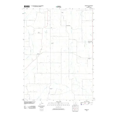
2010 Map of Medora
USGS Topo · Published 2010About this map
Liberty Center and Medora anchor this rural landscape in Warren County, where the topography is defined by the branching tributaries of Otter Creek and Squaw Creek. The area maintains a distributed network of small settlements including Cool, Sharon, and Lawrenceburg, connected by a grid of named routes such as Roosevelt St and Co Rd G76. Genealogy researchers will find significant value in the distribution of family and community burial grounds scattered throughout the quadrangle, ranging from Schaver Cemetery in the north to Bethel Chapel Cemetery in the south. The drainage patterns of Skinaway Creek and Turkery Creek illustrate the natural erosion of the Iowa prairie, while the road naming conventions reflect both presidential history and local geography.
Find a feature on this map
50 named features on this map. Tap any name to fly to it.
Don’t see what you’re looking for? This feature index may not catch every label — zoom into the map to look around manually.
Map Details
Editions of this 2010 Medora Map
This is the sole edition of this map. No revisions or reprints were ever made.
Other maps of this area

1910 · Milo
USGS Topo · 1:62,500

1918 · Chariton
USGS Topo · 1:62,500

1931 · Indianola
USGS Topo · 1:62,500

1950 · New Virginia
USGS Topo · 1:62,500

1952 · New Virginia
USGS Topo · 1:62,500

1954 · Des Moines
USGS Topo · 1:250,000

1956 · Des Moines
USGS Topo · 1:250,000

1957 · Des Moines
USGS Topo · 1:250,000

1965 · Milo
USGS Topo · 1:24,000

1969 · Des Moines
USGS Topo · 1:250,000