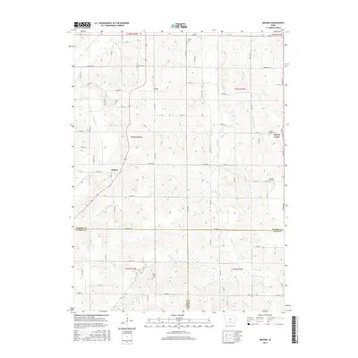
2015 Map of Medora
USGS Topo · Published 2015About this map
Medora and Liberty Center sit within a landscape defined by the rolling creek drainage systems of south-central Iowa. This survey captures the rural character of Squaw Township where several established cemeteries, including Smith Cem and Liberty Center Cem, serve as critical markers for local genealogical research. The terrain is partitioned by several major waterways, most notably Squaw Cr in the northwest and the winding paths of Skinaway Cr and Otter Cr to the south.
Find a feature on this map
43 named features on this map. Tap any name to fly to it.
Don’t see what you’re looking for? This feature index may not catch every label — zoom into the map to look around manually.
Map Details
Editions of this 2015 Medora Map
This is the sole edition of this map. No revisions or reprints were ever made.
Other maps of this area

1910 · Milo
USGS Topo · 1:62,500

1918 · Chariton
USGS Topo · 1:62,500

1931 · Indianola
USGS Topo · 1:62,500

1950 · New Virginia
USGS Topo · 1:62,500

1952 · New Virginia
USGS Topo · 1:62,500

1954 · Des Moines
USGS Topo · 1:250,000

1956 · Des Moines
USGS Topo · 1:250,000

1957 · Des Moines
USGS Topo · 1:250,000

1965 · Milo
USGS Topo · 1:24,000

1969 · Des Moines
USGS Topo · 1:250,000