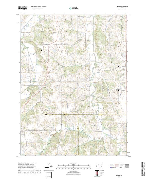
2023 Map of Medora
USGS Topo · Published 2023About this map
The unincorporated settlements of Medora and Liberty Center anchor this portion of southern Warren County, where the agricultural uplands transition into a dense network of creek valleys. The landscape is defined by the branching drainages of Otter Creek and its tributary South Otter Creek, as well as West Creek and Skinway Creek. These watercourses have historically dictated the placement of rural infrastructure, visible in the winding paths of roads like Co Rd G76 and Scott St that navigate the terrain between high ridges and valley floors.
Find a feature on this map
42 named features on this map. Tap any name to fly to it.
Don’t see what you’re looking for? This feature index may not catch every label — zoom into the map to look around manually.
Map Details
Editions of this 2023 Medora Map
This is the sole edition of this map. No revisions or reprints were ever made.
Other maps of this area

1910 · Milo
USGS Topo · 1:62,500

1918 · Chariton
USGS Topo · 1:62,500

1931 · Indianola
USGS Topo · 1:62,500

1950 · New Virginia
USGS Topo · 1:62,500

1952 · New Virginia
USGS Topo · 1:62,500

1954 · Des Moines
USGS Topo · 1:250,000

1956 · Des Moines
USGS Topo · 1:250,000

1957 · Des Moines
USGS Topo · 1:250,000

1965 · Milo
USGS Topo · 1:24,000

1969 · Des Moines
USGS Topo · 1:250,000