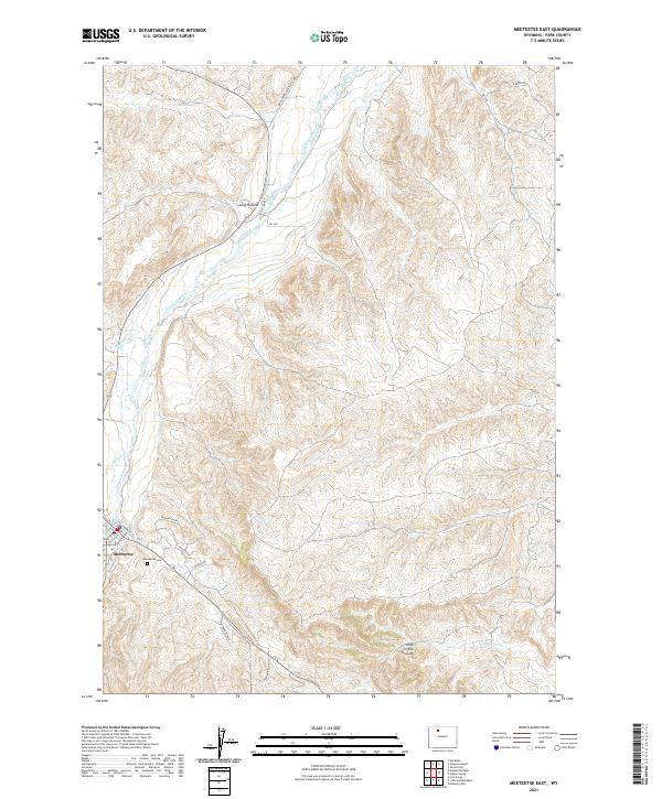
2021 Map of Meeteetse East
USGS Topo · Published 2021About this map
The town of Meeteetse serves as the focal point for this section of Park County, situated where the high desert terrain meets vital watercourses. The Greybull River meanders through the landscape, joined by tributaries such as Meeteetse Cr and Spring Cr. The mapping reveals a transition from the structured residential streets of the town, including Franklin St and Phelps Way, into the surrounding rangeland. Local history is anchored at the Meeteetse Cem, while the outer reaches of the quadrangle are defined by distinct topographical features like Long Hollow and the evocatively named Hole in the Ground. This 2021 survey illustrates how modern infrastructure like Badger Blvd and Coach Rd integrates with historic corridors like the Burlington Meeteetse Rd, documenting the contemporary footprint of this northern Wyoming community.
Find a feature on this map
24 named features on this map. Tap any name to fly to it.
Don’t see what you’re looking for? This feature index may not catch every label — zoom into the map to look around manually.
Map Details
Editions of this 2021 Meeteetse East Map
This is the sole edition of this map. No revisions or reprints were ever made.
Other maps of this area

1911 · Meeteetse
USGS Topo · 1:62,500

1911 · Oregon Basin
USGS Topo · 1:62,500

1913 · Oregon Basin
USGS Topo · 1:62,500

1913 · Meeteetse
USGS Topo · 1:62,500

1951 · Hillberry Rim
USGS Topo · 1:24,000

1951 · Sheets Flat
USGS Topo · 1:24,000

1951 · Wilson Spring
USGS Topo · 1:24,000

1955 · Cody
USGS Topo · 1:250,000

1958 · Cody
USGS Topo · 1:250,000

1962 · Cody
USGS Topo · 1:250,000