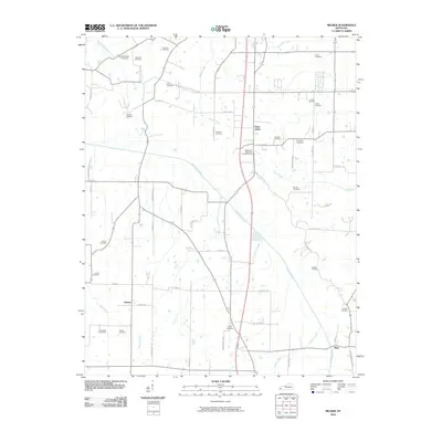
2010 Map of Melber
USGS Topo · Published 2010About this map
Saint Johns and the surrounding rural landscapes of McCracken County are defined by a dense network of family cemeteries and winding waterways in this 2010 survey. The geography is dominated by the southeast-to-northwest flow of Mayfield Creek, which is joined by tributaries like Morris Creek and Camp Creek. This area illustrates a traditional Kentucky pattern of scattered farmstead settlements and rural crossroads, with smaller hubs like Boaz and Kansas serving the local agricultural community.
Find a feature on this map
60 named features on this map. Tap any name to fly to it.
Don’t see what you’re looking for? This feature index may not catch every label — zoom into the map to look around manually.
Map Details
Editions of this 2010 Melber Map
This is the sole edition of this map. No revisions or reprints were ever made.
Other maps of this area

1926 · Paducah
USGS Topo · 1:62,500

1928 · La Center
USGS Topo · 1:62,500

1929 · Paducah
USGS Topo · 1:62,500

1932 · La Center
USGS Topo · 1:62,500

1936 · Melber
USGS Topo · 1:24,000

1936 · Paducah
USGS Topo · 1:24,000

1936 · Symsonia
USGS Topo · 1:24,000

1936 · Westplains
USGS Topo · 1:24,000

1940 · Paducah
USGS Topo · 1:62,500

1949 · Paducah
USGS Topo · 1:250,000