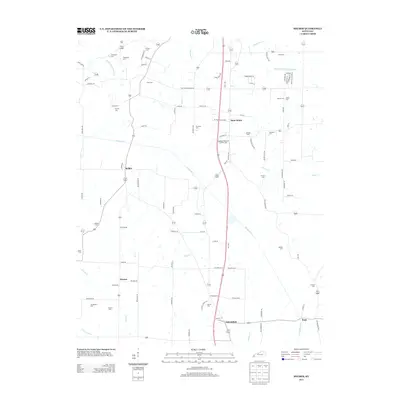
2013 Map of Melber
USGS Topo · Published 2013About this map
Saint Johns and Melber anchor this western Kentucky landscape, where a dense network of local roads connects scattered farmsteads and rural communities. The area is defined by its numerous small burial grounds and family-named landmarks, such as Tittsworth Cem, Haynes Cem, and Purchase Cem, which provide significant data for genealogists tracing early residents. The terrain is drained by several meandering waterways, including Massac Cr and Mayfield Cr, which cut through the agricultural acreage.
Find a feature on this map
104 named features on this map. Tap any name to fly to it.
Don’t see what you’re looking for? This feature index may not catch every label — zoom into the map to look around manually.
Map Details
Editions of this 2013 Melber Map
This is the sole edition of this map. No revisions or reprints were ever made.
Other maps of this area

1926 · Paducah
USGS Topo · 1:62,500

1928 · La Center
USGS Topo · 1:62,500

1929 · Paducah
USGS Topo · 1:62,500

1932 · La Center
USGS Topo · 1:62,500

1936 · Melber
USGS Topo · 1:24,000

1936 · Paducah
USGS Topo · 1:24,000

1936 · Symsonia
USGS Topo · 1:24,000

1936 · Westplains
USGS Topo · 1:24,000

1940 · Paducah
USGS Topo · 1:62,500

1949 · Paducah
USGS Topo · 1:250,000