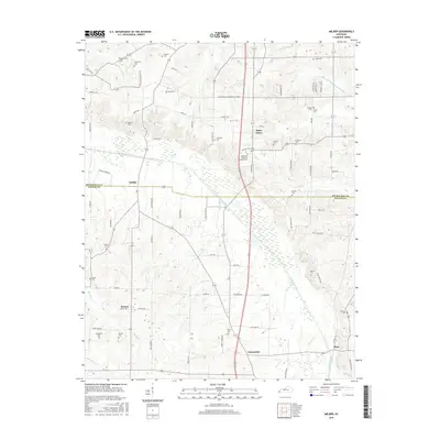
2016 Map of Melber
USGS Topo · Published 2016About this map
Mayfield Creek meanders through the central landscape of this Western Kentucky region, defining the boundary between McCracken and Graves counties. This agricultural and residential area is characterized by a high density of family and community burial grounds, such as Tittsworth Cem, Hunt Cem, and Haynes Cem, suggesting a long history of local kinship and established rural settlements. The small communities of Melber, Saint Johns, Kansas, and Folsomdale serve as the primary hubs, connected by a network of local routes like Mayfield Rd and Lovelaceville Florence Station W. The northern portion of the map is particularly water-rich, with Massac Cr and Middle Fork Massac Cr draining the land toward the Blizzard Ponds Drainage Canal, reflecting a landscape managed for both drainage and navigation.
Find a feature on this map
84 named features on this map. Tap any name to fly to it.
Don’t see what you’re looking for? This feature index may not catch every label — zoom into the map to look around manually.
Map Details
Editions of this 2016 Melber Map
This is the sole edition of this map. No revisions or reprints were ever made.
Other maps of this area

1926 · Paducah
USGS Topo · 1:62,500

1928 · La Center
USGS Topo · 1:62,500

1929 · Paducah
USGS Topo · 1:62,500

1932 · La Center
USGS Topo · 1:62,500

1936 · Melber
USGS Topo · 1:24,000

1936 · Paducah
USGS Topo · 1:24,000

1936 · Symsonia
USGS Topo · 1:24,000

1936 · Westplains
USGS Topo · 1:24,000

1940 · Paducah
USGS Topo · 1:62,500

1949 · Paducah
USGS Topo · 1:250,000