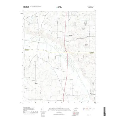
2019 Map of Melber
USGS Topo · Published 2019About this map
Saint Johns and Melber sit along the dividing line of the McCracken and Graves County border, where the terrain is shaped by the Tennessee Valley Divide. This rural landscape is defined by the winding course of Mayfield Creek and its many tributaries, including Middle Fork Massac Creek and Massac Creek. The region's history is deeply rooted in its small crossroads communities and family burial grounds, such as the Diggs Chapel - Kansas Cemetery near the settlement of Kansas.
Find a feature on this map
95 named features on this map. Tap any name to fly to it.
Don’t see what you’re looking for? This feature index may not catch every label — zoom into the map to look around manually.
Map Details
Editions of this 2019 Melber Map
This is the sole edition of this map. No revisions or reprints were ever made.
Other maps of this area

1926 · Paducah
USGS Topo · 1:62,500

1928 · La Center
USGS Topo · 1:62,500

1929 · Paducah
USGS Topo · 1:62,500

1932 · La Center
USGS Topo · 1:62,500

1936 · Melber
USGS Topo · 1:24,000

1936 · Paducah
USGS Topo · 1:24,000

1936 · Symsonia
USGS Topo · 1:24,000

1936 · Westplains
USGS Topo · 1:24,000

1940 · Paducah
USGS Topo · 1:62,500

1949 · Paducah
USGS Topo · 1:250,000