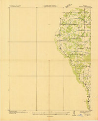
1936 Map of Melber
USGS Topo · Published 1936About this map
The boundary between McCracken Co and Graves Co runs through a landscape defined by depression-era agricultural engineering and early transport networks. Surveyed by the Tennessee Valley Authority and the U.S. Geological Survey, this map reveals a sophisticated water management system exemplified by the Blizzard Bottoms Drainage Ditch and Gem Drainage Ditch. These artificial channels, combined with natural flows like Gamp Creek, were vital to the local farming economy during the mid-1930s.
Find a feature on this map
17 named features on this map. Tap any name to fly to it.
Don’t see what you’re looking for? This feature index may not catch every label — zoom into the map to look around manually.
Map Details
Editions of this 1936 Melber Map
This is the sole edition of this map. No revisions or reprints were ever made.
Other maps of this area

1926 · Paducah
USGS Topo · 1:62,500

1928 · La Center
USGS Topo · 1:62,500
1929 · Paducah
USGS Topo · 1:62,500
1932 · La Center
USGS Topo · 1:62,500
1936 · Paducah
USGS Topo · 1:24,000
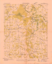
1936 · Symsonia
USGS Topo · 1:24,000
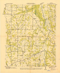
1936 · Westplains
USGS Topo · 1:24,000
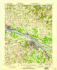
1940 · Paducah
USGS Topo · 1:62,500

1949 · Paducah
USGS Topo · 1:250,000

1950 · Paducah
USGS Topo · 1:250,000