
1949 Map of Melbourne East
USGS Topo · Published 1960About this map
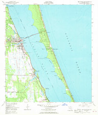
The Indian River lagoon separates the growing mainland centers from the emerging barrier island developments in this mid-century survey of the Florida coast. Melbourne serves as a primary hub, connected via the Melbourne Causeway to the coastal communities of Indialantic and Melbourne Beach. Along the western shore, the Florida East Coast railroad parallels the water, anchoring the settlements of Eau Gallie, Palm Bay, and Malabar.
Find a feature on this map
32 named features on this map. Tap any name to fly to it.
Don’t see what you’re looking for? This feature index may not catch every label — zoom into the map to look around manually.
Map Details
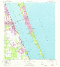
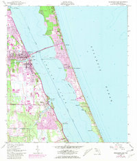
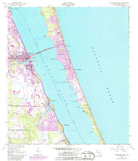
Editions of this 1949 Melbourne East Map
5 editions found
Other maps of this area

1949 · Melbourne West
USGS Topo · 1:24,000

1949 · Sebastian NW
USGS Topo · 1:24,000

1949 · Eau Gallie
USGS Topo · 1:24,000

1949 · Grant
USGS Topo · 1:24,000

1949 · Tropic
USGS Topo · 1:24,000

1951 · Sebastian NW
USGS Topo · 1:24,000

1951 · Melbourne East
USGS Topo · 1:24,000

1951 · Eau Gallie
USGS Topo · 1:24,000

1951 · Melbourne West
USGS Topo · 1:24,000

1951 · Grant
USGS Topo · 1:24,000