
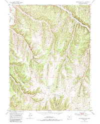
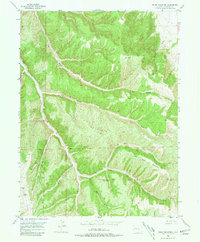
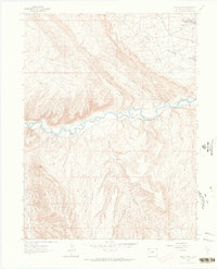
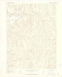
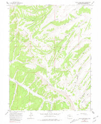
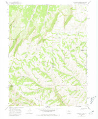
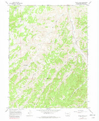
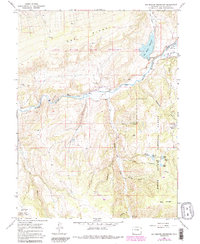
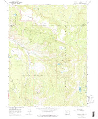
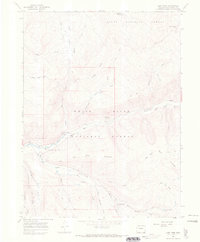
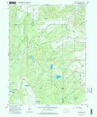
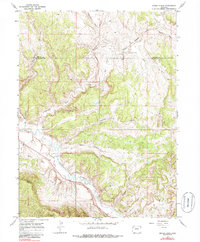
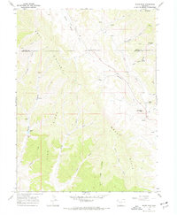
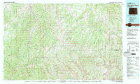
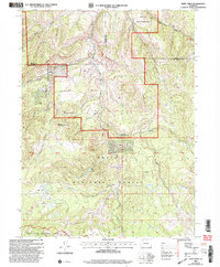
1962 Map of Mellen Hill
USGS Topo · Published 1965This historical map portrays the area of Mellen Hill in 1962, primarily covering Rio Blanco County as well as portions of Moffat County. Featuring a scale of 1:24000, this map provides a highly detailed snapshot of the terrain, roads, buildings, counties, and historical landmarks in the Mellen Hill region at the time. Published in 1965, it is the sole known edition of this map.
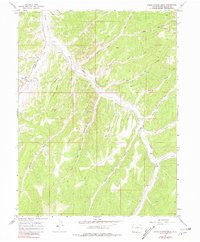
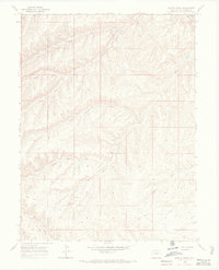
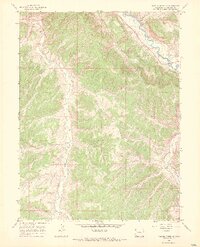
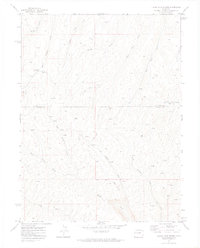
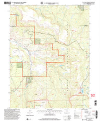
Map Details
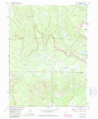
Editions of this 1962 Mellen Hill Map
This is the sole edition of this map. No revisions or reprints were ever made.
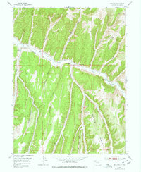
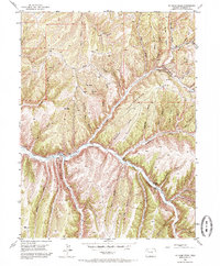
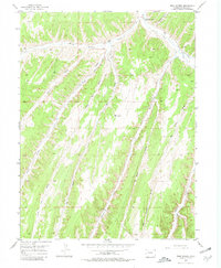
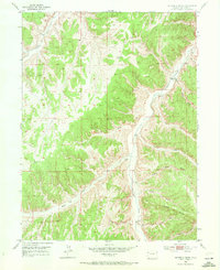
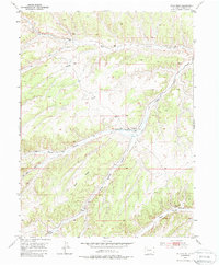
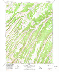
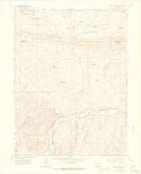
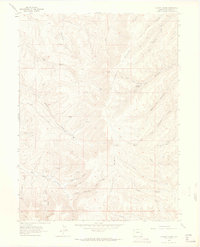
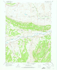
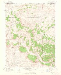
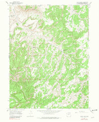
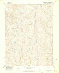
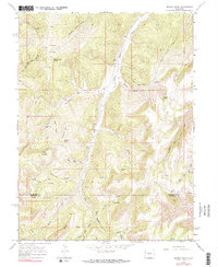
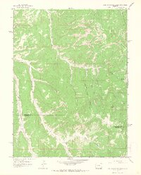
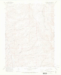
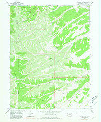
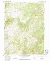
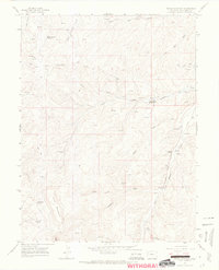
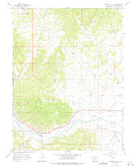
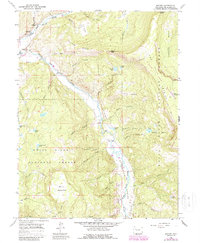
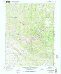
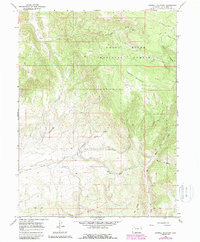
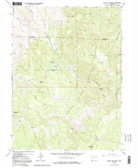
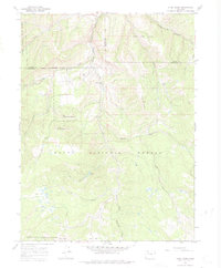
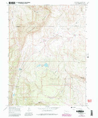
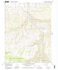
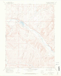
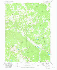
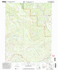
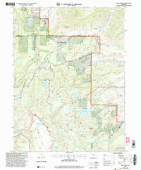
Historical Maps of Rio Blanco County Through Time
60 maps found
1952 Greasewood Gulch
Rio Blanco County, CO
1952 Jessup Gulch
Rio Blanco County, CO
1952 No Name Ridge
Rio Blanco County, CO
1952 Rock School
Rio Blanco County, CO
1952 Segar Mountain
Rio Blanco County, CO
1952 Square S Ranch
Rio Blanco County, CO
1952 Wolf Ridge
Rio Blanco County, CO
1952 Yankee Gulch
Rio Blanco County, CO
1962 Banty Point
Rio Blanco County, CO
1962 Cactus Reservoir
Rio Blanco County, CO
1962 Calamity Ridge
Rio Blanco County, CO
1962 Divide Creek
Rio Blanco County, CO
1962 Gillam Draw
Rio Blanco County, CO
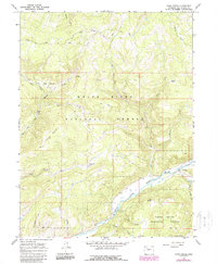
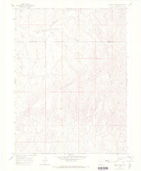
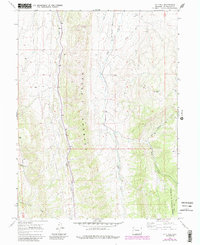
1962 Mellen Hill
Rio Blanco County, CO
1962 Rangely NE
Rio Blanco County, CO
1964 Banta Ridge
Rio Blanco County, CO
1964 Big Foundation Creek
Rio Blanco County, CO
1964 Black Cabin Gulch
Rio Blanco County, CO
1964 Brushy Point
Rio Blanco County, CO
1964 East Evacuation Creek
Rio Blanco County, CO
1964 Philadelphia Creek
Rio Blanco County, CO
1964 Razorback Ridge
Rio Blanco County, CO
1964 Sagebrush Hill
Rio Blanco County, CO
1964 Texas Creek
Rio Blanco County, CO
1964 Texas Mountain
Rio Blanco County, CO
1964 Water Canyon
Rio Blanco County, CO
1964 White Coyote Draw
Rio Blanco County, CO
1966 Barcus Creek
Rio Blanco County, CO
1966 Barcus Creek SE
Rio Blanco County, CO
1966 Big Beaver Reservoir
Rio Blanco County, CO
1966 Buckskin Point
Rio Blanco County, CO
1966 Buford
Rio Blanco County, CO
1966 Devils Hole Gulch
Rio Blanco County, CO
1966 Dunckley Pass
Rio Blanco County, CO
1966 Fawn Creek
Rio Blanco County, CO
1966 Indian Valley
Rio Blanco County, CO
1966 Lo 7 Hill
Rio Blanco County, CO
1966 Lost Park
Rio Blanco County, CO
1966 Ninemile Gap
Rio Blanco County, CO
1966 Pagoda Peak
Rio Blanco County, CO
1966 Rattlesnake Mesa
Rio Blanco County, CO

1966 Rough Gulch
Rio Blanco County, CO
1966 Sand Point
Rio Blanco County, CO
1966 Sawmill Mountain
Rio Blanco County, CO
1966 Sleepy Cat Peak
Rio Blanco County, CO
1966 Slide Creek
Rio Blanco County, CO
1966 Smizer Gulch
Rio Blanco County, CO

1966 Thirteenmile Creek
Rio Blanco County, CO
1966 Thornburgh
Rio Blanco County, CO
1966 Veatch Gulch
Rio Blanco County, CO
1966 White River City
Rio Blanco County, CO
1966 White Rock
Rio Blanco County, CO
1971 Figure Four Spring
Rio Blanco County, CO
1977 Oyster Lake
Rio Blanco County, CO
1977 Ripple Creek
Rio Blanco County, CO
1981 Douglas Pass
Rio Blanco County, CO
2000 Dunckley Pass
Rio Blanco County, CO
2000 Pagoda Peak
Rio Blanco County, CO
2000 Sand Point
Rio Blanco County, CO
2000 Slide Creek
Rio Blanco County, CO