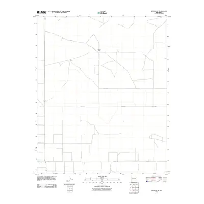
2010 Map of Melrose SE
USGS Topo · Published 2010About this map
The agricultural grid of Curry County defines this eastern New Mexico landscape, where isolated homesteads like Spencer Ranch and Smart Ranch anchor a sprawling network of rural transit lines. This 2010 survey illustrates the rigid section-line organization typical of the High Plains, with a complex system of county roads including Curry Road 7 and Curry Road 4 facilitating movement across the open range.
Find a feature on this map
17 named features on this map. Tap any name to fly to it.
Don’t see what you’re looking for? This feature index may not catch every label — zoom into the map to look around manually.
Map Details
Editions of this 2010 Melrose SE Map
This is the sole edition of this map. No revisions or reprints were ever made.
Other maps of this area

1954 · Clovis
USGS Topo · 1:250,000

1957 · Portair
USGS Topo · 1:62,500

1957 · Melrose
USGS Topo · 1:62,500

1957 · Portales
USGS Topo · 1:62,500

1958 · Clovis
USGS Topo · 1:250,000

1972 · Melrose East
USGS Topo · 1:24,000

1973 · Floyd
USGS Topo · 1:24,000

1973 · Melrose West
USGS Topo · 1:24,000

1973 · Tule Lake
USGS Topo · 1:24,000

1973 · Upton
USGS Topo · 1:24,000