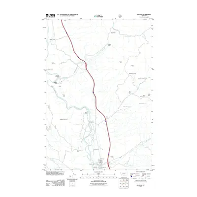
2011 Map of Melrose
USGS Topo · Published 2011About this map
The Big Hole River carves a deep valley through this portion of southwest Montana, serving as the primary corridor for both transportation and local industry. The settlement of Melrose sits at the southern end of the sheet, containing the Melrose Post Office and Melrose Rural Fire Dept. A legacy of extraction is evident in the numerous mining claims dotting the eastern slopes, including the Comet/Lead-Silver Mine, Soap Gulch Barite Mine, and Old Glory Mine.
Find a feature on this map
49 named features on this map. Tap any name to fly to it.
Don’t see what you’re looking for? This feature index may not catch every label — zoom into the map to look around manually.
Map Details
Editions of this 2011 Melrose Map
This is the sole edition of this map. No revisions or reprints were ever made.
Other maps of this area

1893 · Dillon
USGS Topo · 1:250,000

1955 · Dillon
USGS Topo · 1:250,000

1957 · Dillon
USGS Topo · 1:250,000

1958 · Dillon
USGS Topo · 1:250,000

1958 · Vipond Park
USGS Topo · 1:62,500

1961 · Melrose
USGS Topo · 1:24,000

1961 · Earls Gulch
USGS Topo · 1:24,000

1961 · Wickiup Creek
USGS Topo · 1:24,000

1961 · Nez Perce Hollow
USGS Topo · 1:24,000

1961 · Butte South
USGS Topo · 1:62,500