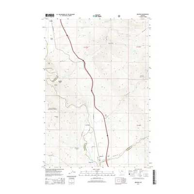
2014 Map of Melrose
USGS Topo · Published 2014About this map
Melrose and the winding course of the Big Hole River anchor this topographic study, capturing a region where Silver Bow, Beaverhead, and Madison counties converge. The landscape is defined by the sharp transition from the river valley to the steep slopes of the Beaverhead National Forest, marked by peaks like Goat Mtn and Shepherd Mtn. Historical transit corridors are well-documented, from the path of Old Highway 10 to more specialized routes like Fishing Access Rd and the trail through Soap Gulch. Smaller settlements and stops such as Divide, Maiden Rock, and Quinn appear along the rail and road network, while the Melrose Cem serves as a localized point of interest for genealogists tracing families in this high-country river valley. The map also identifies numerous water sources essential to the area, including Selway Spring and Maws Spring.
Find a feature on this map
42 named features on this map. Tap any name to fly to it.
Don’t see what you’re looking for? This feature index may not catch every label — zoom into the map to look around manually.
Map Details
Editions of this 2014 Melrose Map
This is the sole edition of this map. No revisions or reprints were ever made.
Other maps of this area

1893 · Dillon
USGS Topo · 1:250,000

1955 · Dillon
USGS Topo · 1:250,000

1957 · Dillon
USGS Topo · 1:250,000

1958 · Dillon
USGS Topo · 1:250,000

1958 · Vipond Park
USGS Topo · 1:62,500

1961 · Melrose
USGS Topo · 1:24,000

1961 · Earls Gulch
USGS Topo · 1:24,000

1961 · Wickiup Creek
USGS Topo · 1:24,000

1961 · Nez Perce Hollow
USGS Topo · 1:24,000

1961 · Butte South
USGS Topo · 1:62,500