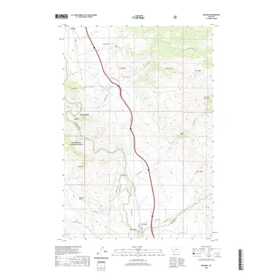
2020 Map of Melrose
USGS Topo · Published 2020About this map
The Big Hole River carves a path through the heart of this Montana landscape, defining the boundaries where Silver Bow and Madison counties meet. The settlement of Melrose serves as a central point, anchored by the Melrose Cem and a local Po on Broad St. To the north, the small communities of Divide and Quinn sit near the river's bend, while the heights of Goat Mtn and Shepherd Mtn overlook the valley floor.
Find a feature on this map
48 named features on this map. Tap any name to fly to it.
Don’t see what you’re looking for? This feature index may not catch every label — zoom into the map to look around manually.
Map Details
Editions of this 2020 Melrose Map
This is the sole edition of this map. No revisions or reprints were ever made.
Other maps of this area

1893 · Dillon
USGS Topo · 1:250,000

1955 · Dillon
USGS Topo · 1:250,000

1957 · Dillon
USGS Topo · 1:250,000

1958 · Dillon
USGS Topo · 1:250,000

1958 · Vipond Park
USGS Topo · 1:62,500

1961 · Melrose
USGS Topo · 1:24,000

1961 · Earls Gulch
USGS Topo · 1:24,000

1961 · Wickiup Creek
USGS Topo · 1:24,000

1961 · Nez Perce Hollow
USGS Topo · 1:24,000

1961 · Butte South
USGS Topo · 1:62,500