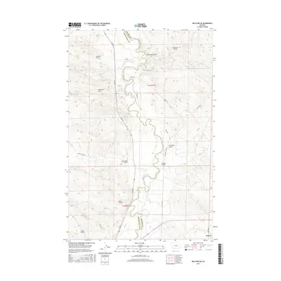
2017 Map of Melstone NE
USGS Topo · Published 2017About this map
The Musselshell River carves a winding path through the borderlands of Rosebud and Musselshell Counties, defining a landscape dominated by extensive coulee systems. To the east, Bascom sits at the edge of this high-plains terrain, where the topography is sharply incised by drainage features like Getchell Coulee and Rattlesnake Coulee. The presence of the Delphia-Melstone Ditch indicates the historical importance of water management for agriculture in this arid region.
Find a feature on this map
27 named features on this map. Tap any name to fly to it.
Don’t see what you’re looking for? This feature index may not catch every label — zoom into the map to look around manually.
Map Details
Editions of this 2017 Melstone NE Map
This is the sole edition of this map. No revisions or reprints were ever made.
Other maps of this area

1954 · Forsyth
USGS Topo · 1:250,000

1957 · Forsyth
USGS Topo · 1:250,000

1958 · Forsyth
USGS Topo · 1:250,000

1962 · Queens Point
USGS Topo · 1:24,000

1962 · Guthridge Ranch
USGS Topo · 1:24,000

1962 · Melstone NE
USGS Topo · 1:24,000

1962 · Maxwell Ranch
USGS Topo · 1:24,000

1962 · Melstone NW
USGS Topo · 1:24,000

1962 · Kincheloe Ranch
USGS Topo · 1:24,000

1962 · Mosby SE
USGS Topo · 1:24,000