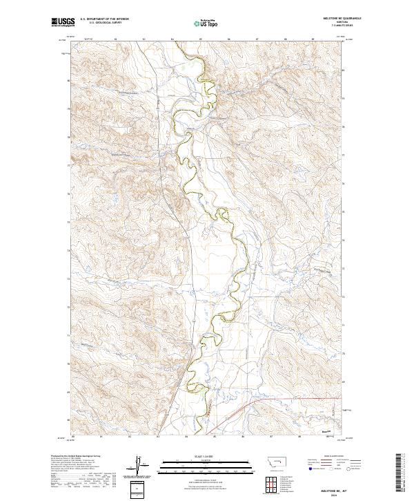
2024 Map of Melstone NE
USGS Topo · Published 2024About this map
The Musselshell River meanders across the border of Musselshell and Rosebud counties, creating a serpentine landscape of steep banks and alluvial flats. This 2024 survey documents the hydraulic infrastructure of the High Plains, notably the Delphia Melstone Ditch, which draws from the river to support local agriculture. The terrain is defined by a dense network of coulees, including Rattlesnake Coulee, Seventynine Coulee, and Gremmert Coulee, that drain the surrounding breaks into the river valley. In the southeastern corner, the tiny settlement of Bascom sits near the junction of Bascomb Rd and Kincheloe Rd, providing a reference point for local genealogy. This modern topographic record captures the enduring ranching and irrigation patterns of the region, from Home Creek to the various family-named landmarks like Getchell Coulee.
Find a feature on this map
24 named features on this map. Tap any name to fly to it.
Don’t see what you’re looking for? This feature index may not catch every label — zoom into the map to look around manually.
Map Details
Editions of this 2024 Melstone NE Map
This is the sole edition of this map. No revisions or reprints were ever made.
Other maps of this area

1954 · Forsyth
USGS Topo · 1:250,000

1957 · Forsyth
USGS Topo · 1:250,000

1958 · Forsyth
USGS Topo · 1:250,000

1962 · Queens Point
USGS Topo · 1:24,000

1962 · Guthridge Ranch
USGS Topo · 1:24,000

1962 · Melstone NE
USGS Topo · 1:24,000

1962 · Maxwell Ranch
USGS Topo · 1:24,000

1962 · Melstone NW
USGS Topo · 1:24,000

1962 · Kincheloe Ranch
USGS Topo · 1:24,000

1962 · Mosby SE
USGS Topo · 1:24,000