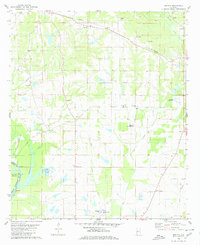
1980 Map of Melton
USGS Topo · Published 1980About this map
The Southern RR railroad line cuts a path through the northern hills of Hale County, passing through the settlement of Melton and by the Springfield Ch and Springfield Ch. The landscape is a transition from high ground to the bottomlands of the Black Warrior River Lake Demopolis, where Duffys Bend marks a significant curve in the water system. Numerous family-named cemeteries such as Boston Cem, Ramey Cem, and Pickens Cem are scattered across the terrain, indicating a long-standing rural community structure.
Find a feature on this map
44 named features on this map. Tap any name to fly to it.
Don’t see what you’re looking for? This feature index may not catch every label — zoom into the map to look around manually.
Map Details
Editions of this 1980 Melton Map
2 editions found
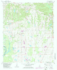
Other maps of this area

1927 · Eutaw
USGS Topo · 1:48,000

1931 · Eutaw
USGS Topo · 1:62,500

1946 · Demopolis
USGS Topo · 1:24,000

1947 · Demopolis
USGS Topo · 1:24,000

1947 · Mason Bend
USGS Topo · 1:24,000

1948 · Mason Bend
USGS Topo · 1:24,000

1953 · Montgomery
USGS Topo · 1:250,000

1956 · Montgomery
USGS Topo · 1:250,000

1957 · Montgomery
USGS Topo · 1:250,000

1979 · Greensboro
USGS Topo · 1:24,000