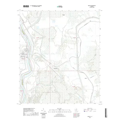
2024 Map of Melville
USGS Topo · Published 2024About this map
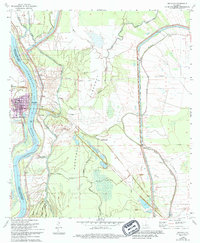
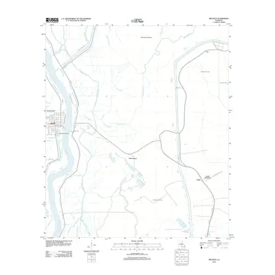
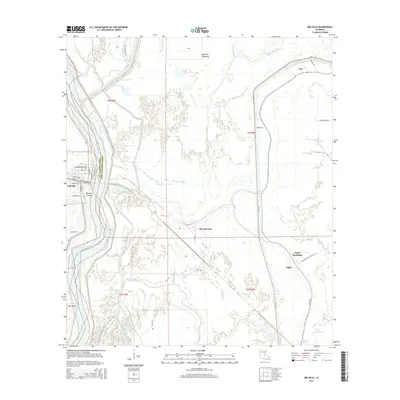
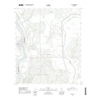
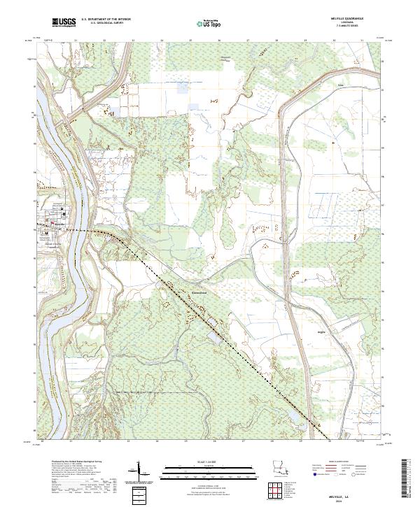
The Atchafalaya River carves the boundary between St Landry and Pointe Coupee Parishes, defining the geography of this alluvial landscape. The town of Melville sits on the western bank, its grid including the historic First Baptist Church and a concentration of local history sites such as the Methodist Cem, Episcopal Cem, and the Saint John the Evangelist Catholic Cem. A noteworthy feature is the Melville Crevasse, a site that recalls the region's complex relationship with the river's power. To the east, the vast Morganza Floodway dominates the terrain, interlaced with intricate bayou systems like Bayou Latenache, Bayou Black, and Cowhead Bayou. Small settlements like Ravenswood and Argyle are connected by rural routes such as LA Highway 77, illustrating the enduring settlement patterns of the Louisiana wetlands.
Find a feature on this map
59 named features on this map. Tap any name to fly to it.
Don’t see what you’re looking for? This feature index may not catch every label — zoom into the map to look around manually.
Map Details
Editions of this 2024 Melville Map
This is the sole edition of this map. No revisions or reprints were ever made.
Historical Maps of Melville Through Time
6 maps found