Loading...
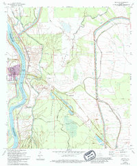
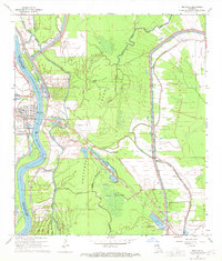
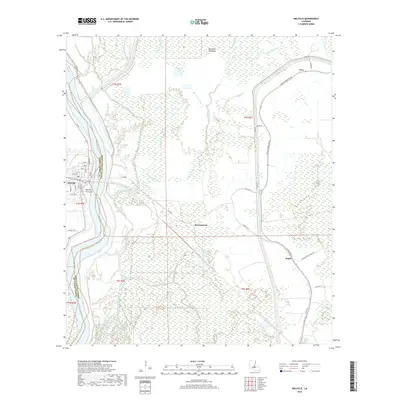
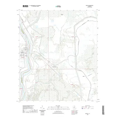
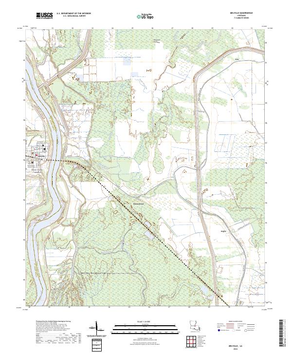
Loading map...1968 Map of Melville
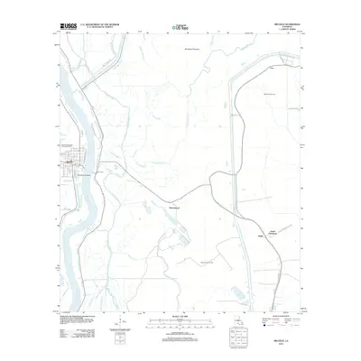
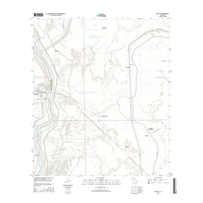
USGS Topo · Published 1994About this map
The Atchafalaya River bisects this Louisiana landscape, defining the boundary between St Landry Parish and Pointe Coupee Parish. Centered on the town of Melville, the map captures a river-dependent community protected by an extensive levee system and the massive Morganza Floodway. Evidence of the river's power is recorded at the Melville Crevasse and the network of gaging stations monitoring the flow.
Find a feature on this map
44 named features on this map. Tap any name to fly to it.
Don’t see what you’re looking for? This feature index may not catch every label — zoom into the map to look around manually.
Map Details
Date Portrayed1968
Date Published1994
PublisherU.S. Geological Survey
Map TypeTopographic
Scale1:24,000
Physical Dimensions22 x 26.8 inches
Editions of this 1968 Melville Map
2 editions found
Historical Maps of Melville Through Time
6 maps found
Featured Locations
Source Details
SourceU.S. Geological Survey
CopyrightPublic Domain