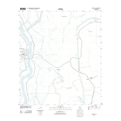
2012 Map of Melville
USGS Topo · Published 2012About this map
The Atchafalaya River defines the western edge of this landscape, its banks marked by the grid of Melville and the nearby Melville Crevasse. This river-bottom environment is dominated by the vast Morganza Floodway and a complex network of bayous, including Bayou Latenache, Johnson Bayou, and Cowhead Bayou. The presence of the Morganza Gas Field and Ravenswood Oil Field reflects the industrial activity woven into the agricultural character of the region.
Find a feature on this map
48 named features on this map. Tap any name to fly to it.
Don’t see what you’re looking for? This feature index may not catch every label — zoom into the map to look around manually.
Map Details
Editions of this 2012 Melville Map
This is the sole edition of this map. No revisions or reprints were ever made.
Other maps of this area

1939 · Fordoche
USGS Topo · 1:62,500

1941 · Batchelor
USGS Topo · 1:62,500

1954 · Fordoche
USGS Topo · 1:24,000

1954 · Baton Rouge
USGS Topo · 1:250,000

1955 · Fordoche
USGS Topo · 1:62,500

1955 · Batchelor
USGS Topo · 1:62,500

1955 · Odenburg
USGS Topo · 1:62,500

1956 · Baton Rouge
USGS Topo · 1:250,000

1959 · Fordoche
USGS Topo · 1:62,500

1959 · Palmetto
USGS Topo · 1:62,500