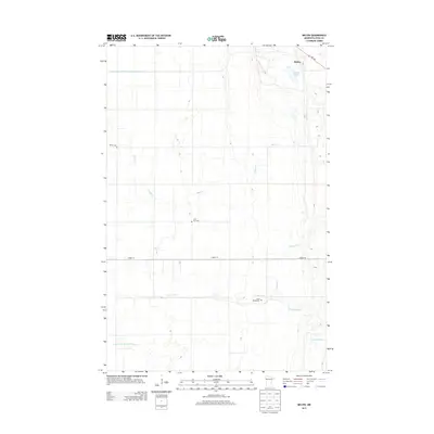
2013 Map of Melvin
USGS Topo · Published 2013About this map
The settlement of Melvin anchors this 2013 landscape in Polk County, Minnesota, where the agrarian heritage of the region is written into the network of water management and rural burial grounds. The terrain is defined by the winding course of the Sand Hill River and its tributaries, including Maple Cr and Kittleson Cr, which flow through a meticulously engineered environment of drainage projects like County Ditch Number One Hundred Nineteen and Judicial Ditch Number Fiftythree. For those exploring the genealogy and local history of this Red River Valley area, several small landmarks offer important clues to the early residents. The presence of Bethel Cem, Lone Star Cem, and Scott Widrig Cem scattered across the township lines provides a window into the family-centered communities that have long worked these flatlands, while the Melvin Slough serves as a reminder of the natural hydrology that predates the extensive ditching systems.
Find a feature on this map
11 named features on this map. Tap any name to fly to it.
Don’t see what you’re looking for? This feature index may not catch every label — zoom into the map to look around manually.
Map Details
Editions of this 2013 Melvin Map
This is the sole edition of this map. No revisions or reprints were ever made.
Other maps of this area

1918 · Twin Valley
USGS Topo · 1:62,500

1919 · Beltrami
USGS Topo · 1:62,500

1924 · Ada
USGS Topo · 1:62,500

1952 · Grand Forks
USGS Topo · 1:250,000

1956 · Grand Forks
USGS Topo · 1:250,000

1964 · Beltrami
USGS Topo · 1:24,000

1964 · Greenview
USGS Topo · 1:24,000

1965 · Dugdale
USGS Topo · 1:24,000

1965 · Lockhart
USGS Topo · 1:24,000

1965 · Fertile
USGS Topo · 1:24,000