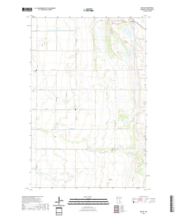
2022 Map of Melvin
USGS Topo · Published 2022About this map
The small settlement of Melvin sits in the northeast corner of this Polk County landscape, defined by a complex network of agricultural drainage and natural waterways. The southern portion of the area is drained by the Sand Hill River, while the northern section features Melvin Slough and the winding course of Maple Cr. This 2022 survey illustrates the highly structured section-line road system of the Red River Valley, where long-established rural landmarks persist despite the sparse population. Genealogists and local historians will find several key burial sites preserved here, including the Bethel Cem, Lone Star Cem, and Scott - Widrig Cem. The presence of substantial drainage projects like County Ditch Number One Hundred Nineteen and Judicial Ditch Number Fiftythree underscores the engineering efforts required to manage the flat, wetland-rich terrain of this Minnesota prairie region.
Find a feature on this map
28 named features on this map. Tap any name to fly to it.
Don’t see what you’re looking for? This feature index may not catch every label — zoom into the map to look around manually.
Map Details
Editions of this 2022 Melvin Map
This is the sole edition of this map. No revisions or reprints were ever made.
Other maps of this area

1918 · Twin Valley
USGS Topo · 1:62,500

1919 · Beltrami
USGS Topo · 1:62,500

1924 · Ada
USGS Topo · 1:62,500

1952 · Grand Forks
USGS Topo · 1:250,000

1956 · Grand Forks
USGS Topo · 1:250,000

1964 · Beltrami
USGS Topo · 1:24,000

1964 · Greenview
USGS Topo · 1:24,000

1965 · Dugdale
USGS Topo · 1:24,000

1965 · Lockhart
USGS Topo · 1:24,000

1965 · Fertile
USGS Topo · 1:24,000