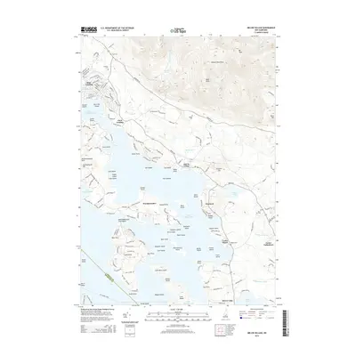
2015 Map of Melvin Village
USGS Topo · Published 2015About this map
Melvin Village and the northeastern shores of Lake Winnipesaukee dominate this survey, capturing the region's character as a hub for both lakeside recreation and highland agriculture. The landscape transitions sharply from the complex archipelago of the lake—featuring Whortleberry Island, Melvin Island, and Black Island—to the high peaks of the Ossipee Mountains in the north. Settlement is concentrated along the shoreline at points like State Landing and Union Wharf, while the interior near Center Tuftonboro maintains a more traditional rural layout. Genealogy and local history are well-represented by several family and community burial grounds, including Edgerly Cem, Bodge Cem, and Town Hall Cem. The map even notes the route of the M/V Sophie C Ferry, a reminder of the enduring importance of waterborne transport in this corner of New Hampshire.
Find a feature on this map
173 named features on this map. Tap any name to fly to it.
Don’t see what you’re looking for? This feature index may not catch every label — zoom into the map to look around manually.
Map Details
Editions of this 2015 Melvin Village Map
This is the sole edition of this map. No revisions or reprints were ever made.
Other maps of this area

1909 · Winnepesaukee
USGS Topo · 1:62,500

1928 · Wolfeboro
USGS Topo · 1:62,500

1930 · Ossipee Lake
USGS Topo · 1:62,500

1931 · Mt. Chocorua
USGS Topo · 1:62,500

1949 · Portland
USGS Topo · 1:250,000

1956 · Winnipesaukee
USGS Topo · 1:62,500

1956 · Portland
USGS Topo · 1:250,000

1958 · Ossipee Lake
USGS Topo · 1:62,500

1958 · Wolfeboro
USGS Topo · 1:62,500

1958 · Mt. Chocorua
USGS Topo · 1:62,500