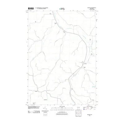
2010 Map of Melvina
USGS Topo · Published 2010About this map
The Little LaCrosse River carves a winding path through this corner of Monroe County, defining a landscape of narrow coulees and named valleys. The small settlement of Melvina sits at a geographic crossroads near the center of the sheet, surrounded by agricultural land and the distinctive topography of Russell Valley and Lyon Valley. To the southwest, the village of Portland anchors a plateau above the Coon Creek 24 D6025 Dam, illustrating the local reliance on water management and stream control in the early 21st century.
Find a feature on this map
51 named features on this map. Tap any name to fly to it.
Don’t see what you’re looking for? This feature index may not catch every label — zoom into the map to look around manually.
Map Details
Editions of this 2010 Melvina Map
This is the sole edition of this map. No revisions or reprints were ever made.
Other maps of this area

1909 · Sparta
USGS Topo · 1:62,500

1916 · Tomah
USGS Topo · 1:62,500

1923 · Viroqua
USGS Topo · 1:62,500

1926 · Viroqua
USGS Topo · 1:62,500

1926 · La Farge
USGS Topo · 1:62,500

1947 · Sparta
USGS Topo · 1:62,500

1949 · Sparta
USGS Topo · 1:62,500

1949 · Tomah
USGS Topo · 1:62,500

1958 · La Crosse
USGS Topo · 1:250,000

1961 · La Crosse
USGS Topo · 1:250,000