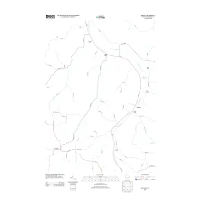
2013 Map of Melvina
USGS Topo · Published 2013About this map
The Little LaCrosse River carves a winding path through the coulee country of Monroe County, anchoring a landscape defined by deep valleys and agricultural ridges. The village of Melvina sits along the river's eastern bank, while Portland serves as the western gateway near the junction of Rullands Coulee Cr. This 2013 survey illustrates the naming conventions of the region's distinct landforms, identifying family-named or descriptive hollows such as Cannon Valley, Lyon Valley, and Pine Hollow. Large-scale land use is evident at the Maple Ridge Orchard, positioned on the high ground between the river valley and the western hills. The network of county highways and local roads like Ladder Rd and Manhattan Rd trace the contours of the terrain, connecting the valley settlements to the upland farms and ridges that define this part of Wisconsin.
Find a feature on this map
57 named features on this map. Tap any name to fly to it.
Don’t see what you’re looking for? This feature index may not catch every label — zoom into the map to look around manually.
Map Details
Editions of this 2013 Melvina Map
This is the sole edition of this map. No revisions or reprints were ever made.
Other maps of this area

1909 · Sparta
USGS Topo · 1:62,500

1916 · Tomah
USGS Topo · 1:62,500

1923 · Viroqua
USGS Topo · 1:62,500

1926 · Viroqua
USGS Topo · 1:62,500

1926 · La Farge
USGS Topo · 1:62,500

1947 · Sparta
USGS Topo · 1:62,500

1949 · Sparta
USGS Topo · 1:62,500

1949 · Tomah
USGS Topo · 1:62,500

1958 · La Crosse
USGS Topo · 1:250,000

1961 · La Crosse
USGS Topo · 1:250,000