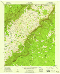
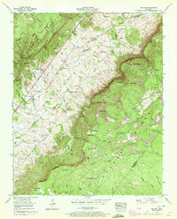
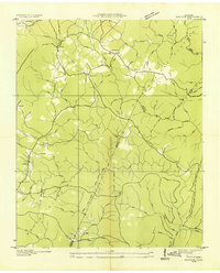
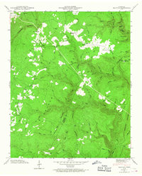
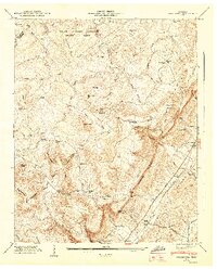
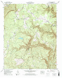
1956 Map of Melvine
USGS Topo · Published 1958This historical map portrays the area of Melvine in 1956, primarily covering Bledsoe County as well as portions of Rhea County and Cumberland County. Featuring a scale of 1:24000, this map provides a highly detailed snapshot of the terrain, roads, buildings, counties, and historical landmarks in the Melvine region at the time. Published in 1958, it is one of 3 known editions of this map due to revisions or reprints.
Find a feature on this map
88 named features on this map. Tap any name to fly to it.
Don’t see what you’re looking for? This feature index may not catch every label — zoom into the map to look around manually.
Map Details
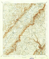
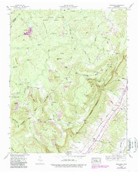
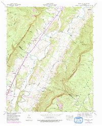
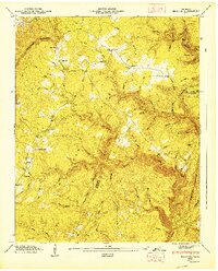
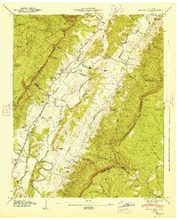
Editions of this 1956 Melvine Map
3 editions found
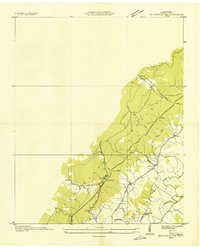
Historical Maps of Cumberland County Through Time
16 maps found

1909 Sequatchie Valley
Bledsoe County, TN
1910 Sequatchie Valley
Bledsoe County, TN
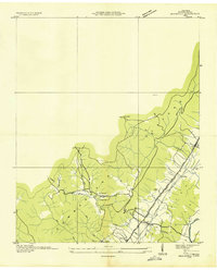
1935 Billingsley Gap
Bledsoe County, TN
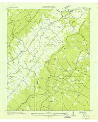
1935 Brayton
Bledsoe County, TN
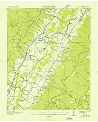
1935 Brockdell
Bledsoe County, TN
1935 Melvine
Bledsoe County, TN
1935 Mount Airy
Bledsoe County, TN
1946 Brayton
Bledsoe County, TN
1946 Brockdell
Bledsoe County, TN
1946 Mount Airy
Bledsoe County, TN
1947 Brayton
Bledsoe County, TN
1947 Brockdell
Bledsoe County, TN
1947 Mount Airy
Bledsoe County, TN
1956 Billingsley Gap
Bledsoe County, TN
1956 Melvine
Bledsoe County, TN
1972 Brayton
Bledsoe County, TN