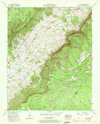
1956 Map of Melvine
USGS Topo · Published 1972About this map
The Sequatchie Valley forms a striking corridor through the Cumberland Plateau in this mid-century survey, dividing the landscape between the sharp Escarpment and the rising heights of Walden Ridge. Small rural communities such as Litton and Melvine serve as focal points for the valley floor, where the Sequatchie River and its tributaries like Mill Creek supported a network of farms and homes. The map reveals a deeply rooted social landscape, marked by a high density of family and community burial grounds, including the Tollett Cem, Walker Cem, and Smyrna Cem.
Find a feature on this map
86 named features on this map. Tap any name to fly to it.
Don’t see what you’re looking for? This feature index may not catch every label — zoom into the map to look around manually.
Map Details
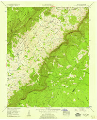
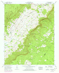
Editions of this 1956 Melvine Map
3 editions found
Other maps of this area

1887 · Kingston
USGS Topo · 1:125,000

1891 · Kingston
USGS Topo · 1:125,000

1892 · Pikeville
USGS Topo · 1:125,000

1893 · Kingston
USGS Topo · 1:125,000

1895 · Pikeville
USGS Topo · 1:125,000

1909 · Sequatchie Valley
USGS Topo · 1:62,500

1910 · Pikeville
USGS Topo · 1:62,500

1912 · Crossville
USGS Topo · 1:62,500

1935 · Melvine
USGS Topo · 1:24,000

1935 · Morgan Springs
USGS Topo · 1:24,000