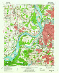
1960 Map of Memphis
USGS Topo · Published 1963About this map
Mississippi River geography dominates this mid-century view, capturing the industrial and residential expansion across the Tennessee-Arkansas state line. In Tennessee, the development of Presidents Island No. 45 and the adjacent Industrial Development Area reflects a massive effort to harness the waterfront, while neighborhoods like Whitehaven and Frayser show the post-war suburban footprint. On the Arkansas side, the city of West Memphis is centered between the Military Road and complex drainage systems like Ten Mile Bayou and Fifteen Mile Bayou.
Find a feature on this map
114 named features on this map. Tap any name to fly to it.
Don’t see what you’re looking for? This feature index may not catch every label — zoom into the map to look around manually.
Map Details
Editions of this 1960 Memphis Map
2 editions found
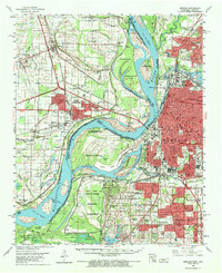
Other maps of this area

1908 · Lake Cormorant
USGS Topo · 1:24,000

1912 · Lake Cormorant
USGS Topo · 1:31,680

1916 · Memphis
USGS Topo · 1:62,500

1925 · Memphis
USGS Topo · 1:48,000

1927 · Memphis
USGS Topo · 1:62,500

1931 · Horseshoe Lake
USGS Topo · 1:62,500

1931 · Jericho
USGS Topo · 1:62,500

1932 · Horn Lake
USGS Topo · 1:48,000

1935 · Horn Lake
USGS Topo · 1:62,500

1939 · Horseshoe Lake
USGS Topo · 1:62,500