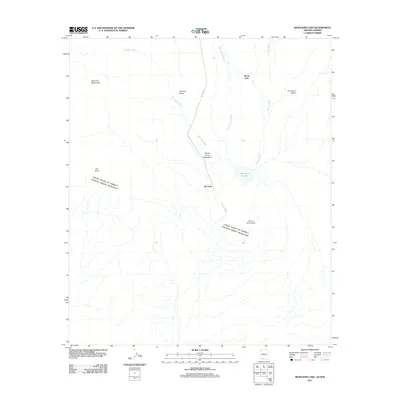
2011 Map of Menagers Lake
USGS Topo · Published 2011About this map
The international border between the United States and Mexico bisects this Sonoran Desert landscape, defining the southern reaches of the Gu Vo District. Centered on the settlement of Ali Chuk, the area is characterized by an extensive network of ephemeral drainage systems, most notably Ali Chuk Wash and Pia Oik Wash, which converge near the reservoir at Menagers Lake. This geography reflects a reliance on seasonal water management in a desert environment, where infrastructure like Route 1 BIA provides the primary connection through the Ali Chuk Valley. To the north, the small community of Ali Ak Chin sits between the rising slopes of the Sierra de Santa Rosa and La Quituni Valley, illustrating the dispersed settlement patterns typical of this borderlands region.
Find a feature on this map
14 named features on this map. Tap any name to fly to it.
Don’t see what you’re looking for? This feature index may not catch every label — zoom into the map to look around manually.
Map Details
Editions of this 2011 Menagers Lake Map
This is the sole edition of this map. No revisions or reprints were ever made.
Other maps of this area

1954 · Sonoyta
USGS Topo · 1:250,000

1963 · Kom Vo
USGS Topo · 1:62,500

1963 · Lukeville
USGS Topo · 1:250,000

1963 · Diaz Peak
USGS Topo · 1:62,500
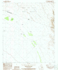
1988 · Blankenship Well
USGS Topo · 1:24,000
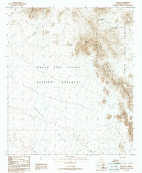
1988 · Diaz Peak
USGS Topo · 1:24,000
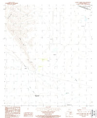
1988 · South of Bailey Peak
USGS Topo · 1:24,000
1988 · Bailey Peak
USGS Topo · 1:24,000
1988 · Pia Oik
USGS Topo · 1:24,000
1988 · Chupan Mountain
USGS Topo · 1:24,000