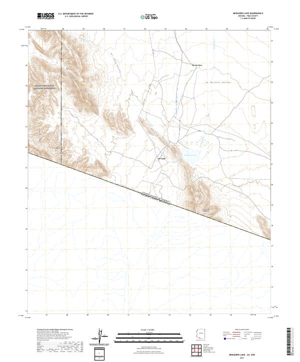
2021 Map of Menagers Lake
USGS Topo · Published 2021About this map
Ali Chuk and Ali Ak Chin are the primary settlements in this arid landscape along the international boundary between the United States and Mexico. The terrain is defined by the prominent Ajo Range and the Sierra de Santa Rosa in the west, giving way to the broad Ali Chuk Valley and La Quituni Valley to the east. A network of ephemeral waterways, including Ali Chuk Wash, Pia Oik Wash, and Slover Shuatak Wash, converge toward Menagers Lake, a notable hydrologic feature in this desert environment.
Find a feature on this map
20 named features on this map. Tap any name to fly to it.
Don’t see what you’re looking for? This feature index may not catch every label — zoom into the map to look around manually.
Map Details
Editions of this 2021 Menagers Lake Map
This is the sole edition of this map. No revisions or reprints were ever made.
Other maps of this area

1954 · Sonoyta
USGS Topo · 1:250,000

1963 · Kom Vo
USGS Topo · 1:62,500

1963 · Lukeville
USGS Topo · 1:250,000

1963 · Diaz Peak
USGS Topo · 1:62,500
1988 · Blankenship Well
USGS Topo · 1:24,000
1988 · Diaz Peak
USGS Topo · 1:24,000
1988 · South of Bailey Peak
USGS Topo · 1:24,000
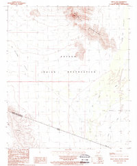
1988 · Bailey Peak
USGS Topo · 1:24,000
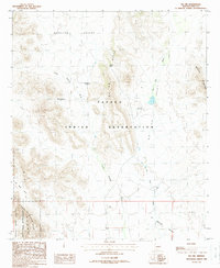
1988 · Pia Oik
USGS Topo · 1:24,000
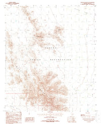
1988 · Chupan Mountain
USGS Topo · 1:24,000