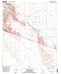
1996 Map of Menagers Lake
USGS Topo · Published 2000About this map
Tohono O'odham Indian Reservation lands dominate this borderland landscape, where the international boundary between Arizona and Mexico cuts across the southern portion of the map. The settlement of Ali Ak Chin sits in the northern reaches, positioned near the Cem and several seasonal watercourses including Shuatak Wash and La Quituni Wash.
Find a feature on this map
22 named features on this map. Tap any name to fly to it.
Don’t see what you’re looking for? This feature index may not catch every label — zoom into the map to look around manually.
Map Details
Editions of this 1996 Menagers Lake Map
This is the sole edition of this map. No revisions or reprints were ever made.
Other maps of this area

1954 · Sonoyta
USGS Topo · 1:250,000

1963 · Kom Vo
USGS Topo · 1:62,500

1963 · Lukeville
USGS Topo · 1:250,000

1963 · Diaz Peak
USGS Topo · 1:62,500
1988 · Blankenship Well
USGS Topo · 1:24,000
1988 · Diaz Peak
USGS Topo · 1:24,000
1988 · South of Bailey Peak
USGS Topo · 1:24,000
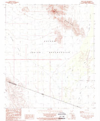
1988 · Bailey Peak
USGS Topo · 1:24,000
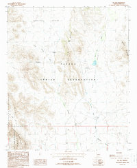
1988 · Pia Oik
USGS Topo · 1:24,000
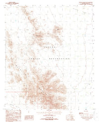
1988 · Chupan Mountain
USGS Topo · 1:24,000