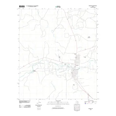
2010 Map of Menard
USGS Topo · Published 2010About this map
The San Saba River defines the central corridor of this Texas Hill Country landscape, where the town of Menard serves as a focal point for ranching and local history. A notable intersection of cultural heritage is visible here, anchored by the San Saba Mission and the local Menard Irrigation Company Canal, which traces the river's path to support the region's agricultural needs. The map records several legacy sites, including Pioneer Rest Cemetery and Rest Haven Cemetery, alongside geographic landmarks like Little Racetrack Mountain and Bowie Spring. Outside the town center, the terrain is marked by named drainage features such as Harris Hollow and Volkmann Draw, while transportation is facilitated by the Menard County Airport and rural crossings like Fourmile Crossing.
Find a feature on this map
24 named features on this map. Tap any name to fly to it.
Don’t see what you’re looking for? This feature index may not catch every label — zoom into the map to look around manually.
Map Details
Editions of this 2010 Menard Map
This is the sole edition of this map. No revisions or reprints were ever made.
Other maps of this area

1892 · Eden
USGS Topo · 1:125,000

1896 · Eden
USGS Topo · 1:125,000

1954 · Brownwood
USGS Topo · 1:250,000

1954 · Llano
USGS Topo · 1:250,000

1955 · Llano
USGS Topo · 1:250,000

1956 · Llano
USGS Topo · 1:250,000

1970 · Callan
USGS Topo · 1:24,000

1970 · Clear Creek Lake
USGS Topo · 1:24,000

1970 · San Augustine Draw
USGS Topo · 1:24,000

1970 · East Elm Creek
USGS Topo · 1:24,000