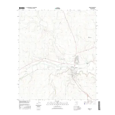
2016 Map of Menard
USGS Topo · Published 2016About this map
Menard serves as the focal point of this survey, situated where the Menard Irrigation Company Canal and Celery Cr converge with the San Saba River system. The town's grid is meticulously detailed, showing the layout of streets like Frisco Ave and Concho Ave, alongside essential local sites including Pioneer Rest Cem and Rest Haven Cem. The surrounding topography is defined by seasonal waterways and dramatic draws, such as Arroyo de Juan Lorenzo and Volkmann Draw, which drain the limestone-rich plateau toward the river valley.
Find a feature on this map
54 named features on this map. Tap any name to fly to it.
Don’t see what you’re looking for? This feature index may not catch every label — zoom into the map to look around manually.
Map Details
Editions of this 2016 Menard Map
This is the sole edition of this map. No revisions or reprints were ever made.
Other maps of this area

1892 · Eden
USGS Topo · 1:125,000

1896 · Eden
USGS Topo · 1:125,000

1954 · Brownwood
USGS Topo · 1:250,000

1954 · Llano
USGS Topo · 1:250,000

1955 · Llano
USGS Topo · 1:250,000

1956 · Llano
USGS Topo · 1:250,000

1970 · Callan
USGS Topo · 1:24,000

1970 · Clear Creek Lake
USGS Topo · 1:24,000

1970 · San Augustine Draw
USGS Topo · 1:24,000

1970 · East Elm Creek
USGS Topo · 1:24,000