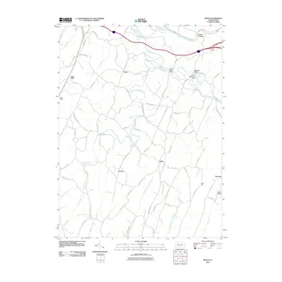
2010 Map of Mench
USGS Topo · Published 2010About this map
Felten's Covered Bridge and Jackson's Mill Covered Bridge span the waters of Brush Creek in this portion of Bedford County, marking a landscape where historical infrastructure remains integral to the local geography. The area is defined by its small, scattered settlements such as Mench, Mattie, and Emerson, which are connected by a dense network of township roads like Menchtown Rd and Rock Hill Church Rd.
Find a feature on this map
81 named features on this map. Tap any name to fly to it.
Don’t see what you’re looking for? This feature index may not catch every label — zoom into the map to look around manually.
Map Details
Editions of this 2010 Mench Map
This is the sole edition of this map. No revisions or reprints were ever made.
Other maps of this area

1900 · Everett
USGS Topo · 1:62,500

1902 · Everett
USGS Topo · 1:62,500

1925 · Needmore
USGS Topo · 1:48,000

1927 · Clearville
USGS Topo · 1:48,000

1930 · Broad Top
USGS Topo · 1:62,500

1931 · Clearville
USGS Topo · 1:62,500

1933 · Broad Top
USGS Topo · 1:62,500

1935 · Needmore
USGS Topo · 1:62,500

1939 · Needmore
USGS Topo · 1:62,500

1944 · Clearville
USGS Topo · 1:62,500
Featured Places
- East Providence Township, PA
- Jackson Mills, East Providence Township
- Juniata Crossing, East Providence Township
- Emerson, Monroe Township
- Mench, West Providence Township