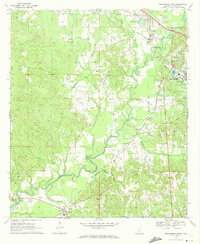
1970 Map of Mendenhall West
USGS Topo · Published 1972About this map
The Strong River snakes through the heart of Simpson County, defining a landscape of riparian lowlands and rising hills in the early 1970s. The region is anchored by Mendenhall, the county seat, and the nearby town of D'Lo, both situated along the Illinois Central railroad corridor. This transportation spine facilitated the local economy, connecting smaller communities like Merit and Pinola to larger markets. Away from the main rail line, the map reveals a rural social geography centered on places like Westville and the historic Bishop Cem. The terrain is deeply etched by numerous tributaries including Sanders Creek and Needham Creek, while local infrastructure is marked by scattered resource extraction at various Gravel Pit sites and the Mendenhall Municipal Airport.
Find a feature on this map
42 named features on this map. Tap any name to fly to it.
Don’t see what you’re looking for? This feature index may not catch every label — zoom into the map to look around manually.
Map Details
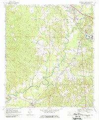
Editions of this 1970 Mendenhall West Map
2 editions found
Other maps of this area

1903 · Jackson
USGS Topo · 1:125,000

1906 · Florence
USGS Topo · 1:62,500

1908 · Florence
USGS Topo · 1:62,500

1953 · Hattiesburg
USGS Topo · 1:250,000

1953 · Meridian
USGS Topo · 1:250,000

1953 · Natchez
USGS Topo · 1:250,000

1955 · Jackson
USGS Topo · 1:250,000

1956 · Natchez
USGS Topo · 1:250,000

1957 · Meridian
USGS Topo · 1:250,000

1958 · Hattiesburg
USGS Topo · 1:250,000