
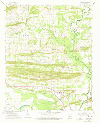
1961 Map of Menifee
USGS Topo · Published 1962About this map
The Missouri Pacific railroad corridor anchors the southern portion of this landscape, connecting the settlement of Menifee with the surrounding rural townships of Howard and Cadron. This early 1960s survey reveals a dense network of community landmarks, including the County Training Sch and several country churches such as Mt Pleasant Ch and Zion Temple. The topography is defined by the winding course of Cadron Creek and the oxbow formations of Old River Lake, which indicate the shifting hydrology of the Arkansas River basin.
Find a feature on this map
35 named features on this map. Tap any name to fly to it.
Don’t see what you’re looking for? This feature index may not catch every label — zoom into the map to look around manually.
Map Details
Editions of this 1961 Menifee Map
3 editions found
Other maps of this area

1892 · Morrillton
USGS Topo · 1:125,000

1894 · Morrillton
USGS Topo · 1:125,000

1956 · Russellville
USGS Topo · 1:250,000

1961 · Morrilton East
USGS Topo · 1:24,000

1961 · Houston
USGS Topo · 1:24,000

1961 · Gleason
USGS Topo · 1:24,000

1961 · Conway
USGS Topo · 1:24,000

1961 · Conway
USGS Topo · 1:62,500

1961 · Bee Branch
USGS Topo · 1:62,500

1961 · Greenbrier
USGS Topo · 1:24,000