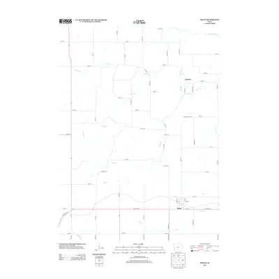
2013 Map of Menlo
USGS Topo · Published 2013About this map
Menlo serves as the primary hub of this Guthrie County landscape, situated along the historic White Pole Rd and a corridor of modern transit. The geography is defined by a dense network of waterways feeding the larger drainage systems of the region, including the S Raccoon River in the north and the Middle River at the southern edge. Between these flows, smaller tributaries like Deer Cr and Plunger Cr carve through the agricultural sections, while the small settlement of Glendon remains a quiet marker of the northern interior.
Find a feature on this map
58 named features on this map. Tap any name to fly to it.
Don’t see what you’re looking for? This feature index may not catch every label — zoom into the map to look around manually.
Map Details
Editions of this 2013 Menlo Map
This is the sole edition of this map. No revisions or reprints were ever made.
Other maps of this area

1952 · Panora
USGS Topo · 1:62,500

1954 · Greenfield
USGS Topo · 1:62,500

1954 · Omaha
USGS Topo · 1:250,000

1957 · Omaha
USGS Topo · 1:250,000

1958 · Omaha
USGS Topo · 1:250,000

1971 · Canby
USGS Topo · 1:24,000

1971 · Casey
USGS Topo · 1:24,000

1971 · Guthrie Center West
USGS Topo · 1:24,000

1982 · Guthrie Center East
USGS Topo · 1:24,000

1982 · Panora
USGS Topo · 1:24,000