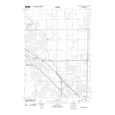
2010 Map of Menomonee Falls
USGS Topo · Published 2010About this map
The Menomonee River and its various tributaries, including the Little Menomonee River and Pigeon Creek, define the landscape of this region northwest of Milwaukee. In the early 21st century, the area shows a complex transition from established town centers like Menomonee Falls and Germantown to more suburban and semi-rural pockets. Small historic settlements such as Fussville and West Granville are visible, often anchored by community landmarks like the Saint Anthony Cemetery or West Granville Cemetery.
Find a feature on this map
48 named features on this map. Tap any name to fly to it.
Don’t see what you’re looking for? This feature index may not catch every label — zoom into the map to look around manually.
Map Details
Editions of this 2010 Menomonee Falls Map
This is the sole edition of this map. No revisions or reprints were ever made.
Other maps of this area

1892 · Milwaukee
USGS Topo · 1:62,500

1892 · Waukesha
USGS Topo · 1:62,500

1892 · Port Washington
USGS Topo · 1:62,500

1901 · Milwaukee
USGS Topo · 1:62,500

1901 · Waukesha
USGS Topo · 1:62,500

1904 · West Bend
USGS Topo · 1:62,500

1904 · Port Washington
USGS Topo · 1:62,500

1906 · Waukesha
USGS Topo · 1:62,500

1906 · Milwaukee
USGS Topo · 1:62,500

1954 · Milwaukee
USGS Topo · 1:250,000