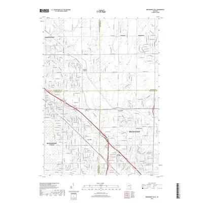
2018 Map of Menomonee Falls
USGS Topo · Published 2018About this map
Menomonee Falls serves as the focal point of this late-2010s survey, where the suburban expansion of the Milwaukee metropolitan area meets the long-standing agricultural roots of the borderlands between Waukesha and Milwaukee counties. The landscape is defined by the winding course of the Menomonee River and the Little Menomonee River, which flow through a network of established neighborhoods and the remnant wetlands of the Tamarac Swamp. This period shows a complex web of modern subdivisions built alongside historical crossroads and vanished rural identities.
Find a feature on this map
289 named features on this map. Tap any name to fly to it.
Don’t see what you’re looking for? This feature index may not catch every label — zoom into the map to look around manually.
Map Details
Editions of this 2018 Menomonee Falls Map
This is the sole edition of this map. No revisions or reprints were ever made.
Other maps of this area

1892 · Milwaukee
USGS Topo · 1:62,500

1892 · Waukesha
USGS Topo · 1:62,500

1892 · Port Washington
USGS Topo · 1:62,500

1901 · Milwaukee
USGS Topo · 1:62,500

1901 · Waukesha
USGS Topo · 1:62,500

1904 · West Bend
USGS Topo · 1:62,500

1904 · Port Washington
USGS Topo · 1:62,500

1906 · Waukesha
USGS Topo · 1:62,500

1906 · Milwaukee
USGS Topo · 1:62,500

1954 · Milwaukee
USGS Topo · 1:250,000