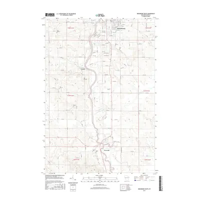
2015 Map of Menomonie South
USGS Topo · Published 2015About this map
The Red Cedar River carves a deep path through Dunn County, anchoring the transition from the collegiate atmosphere of northern Menomonie to the rural expanses of the south. This 2015 survey documents the campus of the Univ of Wisconsin - Stout as it integrates with the city grid, while downstream, smaller clusters like Irvington and Downsville sit alongside the river's winding course. The terrain is marked by distinctive elevations such as The Pinnacle, which rises above the river valley.
Find a feature on this map
104 named features on this map. Tap any name to fly to it.
Don’t see what you’re looking for? This feature index may not catch every label — zoom into the map to look around manually.
Map Details
Editions of this 2015 Menomonie South Map
This is the sole edition of this map. No revisions or reprints were ever made.
Other maps of this area

1929 · Durand
USGS Topo · 1:62,500

1932 · Durand
USGS Topo · 1:62,500

1935 · Arkansaw
USGS Topo · 1:48,000

1940 · Menomonie
USGS Topo · 1:62,500

1941 · Arkansaw
USGS Topo · 1:62,500

1942 · Arkansaw
USGS Topo · 1:62,500

1942 · Menomonie
USGS Topo · 1:62,500

1946 · Knapp
USGS Topo · 1:62,500

1949 · Knapp
USGS Topo · 1:62,500

1953 · Saint Paul
USGS Topo · 1:250,000