
1959 Map of Mentone
USGS Topo · Published 1961About this map
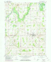
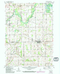
Mentone serves as the primary hub of this northern Indiana landscape, where the New York Chicago and St Louis Railroad intersects the local road grid. The geography is defined by a dense network of drainage channels such as Apple Ditch and Shatto Ditch, which redirect water into the meandering Tippecanoe River as it winds through the northern townships of Etna and Harrison.
Find a feature on this map
53 named features on this map. Tap any name to fly to it.
Don’t see what you’re looking for? This feature index may not catch every label — zoom into the map to look around manually.
Map Details
Editions of this 1959 Mentone Map
3 editions found
Other maps of this area

1953 · Fort Wayne
USGS Topo · 1:250,000

1953 · Chicago
USGS Topo · 1:250,000

1956 · Fort Wayne
USGS Topo · 1:250,000

1957 · Chicago
USGS Topo · 1:250,000

1957 · Inwood
USGS Topo · 1:24,000

1958 · Bourbon
USGS Topo · 1:24,000

1959 · Atwood
USGS Topo · 1:24,000

1961 · Silver Lake
USGS Topo · 1:24,000
1961 · Burket
USGS Topo · 1:24,000
1962 · Akron
USGS Topo · 1:24,000