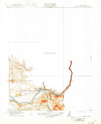
1919 Map of Merced Falls
USGS Topo · Published 1922About this map
Merced Falls serves as the industrial and transit hub of this early twentieth-century survey, positioned precisely where the Merced River defines the border between Mariposa and Merced counties. The landscape is characterized by the infrastructure of the Y. V. R. R. and the winding paths of the Yosemite Valley Road and Hornitos Road, reflecting a time when river power and rail transport were central to the local economy.
Find a feature on this map
11 named features on this map. Tap any name to fly to it.
Don’t see what you’re looking for? This feature index may not catch every label — zoom into the map to look around manually.
Map Details
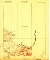
Editions of this 1919 Merced Falls Map
3 editions found

Other maps of this area

1893 · Sonora
USGS Topo · 1:125,000

1896 · Sonora
USGS Topo · 1:125,000

1897 · Sonora
USGS Topo · 1:125,000

1898 · Sonora
USGS Topo · 1:125,000

1915 · La Grange
USGS Topo · 1:24,000

1916 · Hopeton
USGS Topo · 1:31,680

1916 · Merced Falls
USGS Topo · 1:24,000
1918 · Snelling
USGS Topo · 1:31,680

1919 · Indian Gulch
USGS Topo · 1:48,000

1919 · Haystack Mountain
USGS Topo · 1:31,680