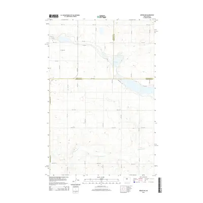
2014 Map of Mercer SW
USGS Topo · Published 2014About this map
Heckers Lake and the winding course of Painted Woods Cr dominate this section of the North Dakota prairie, marking a landscape defined by water management and rural boundaries. The terrain is notably etched by the S Canal Rd, part of the regional water infrastructure that services the agricultural lands across the tri-county corner of McLean, Sheridan, and Burleigh. This 2014 survey documents the enduring presence of Bethel Cem in the northwestern quadrant, a vital landmark for genealogists and local historians tracing family roots in this sparsely populated area. The grid of section lines is reflected in the modern road network, including 471st Ave NE and 448th Ave NE, which trace the legacy of the original land surveys across the rolling hills of the Missouri Plateau.
Find a feature on this map
17 named features on this map. Tap any name to fly to it.
Don’t see what you’re looking for? This feature index may not catch every label — zoom into the map to look around manually.
Map Details
Editions of this 2014 Mercer SW Map
This is the sole edition of this map. No revisions or reprints were ever made.
Other maps of this area

1949 · Turtle Creek
USGS Topo · 1:62,500

1950 · Wilton
USGS Topo · 1:62,500

1954 · McClusky
USGS Topo · 1:250,000

1958 · McClusky
USGS Topo · 1:250,000

1959 · Pickardville
USGS Topo · 1:24,000

1959 · Mercer
USGS Topo · 1:24,000

1959 · Mercer SW
USGS Topo · 1:24,000

1959 · Mercer SE
USGS Topo · 1:24,000

1961 · Turtle Creek NE
USGS Topo · 1:24,000

1961 · Turtle Creek SE
USGS Topo · 1:24,000