
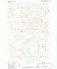
1961 Map of Turtle Creek NE
USGS Topo · Published 1963About this map
The Missouri River Basin development program shaped the landscape of McLean and Mercer counties as documented in this early 1960s survey. The terrain is characterized by numerous small glacial potholes and wetlands typical of the prairie pothole region, with Flicker and Lindell identified among the subtle topographical variations. Institutional landmarks of the rural community are preserved here, including the South St Olaf Ch and the Koenig Sch No 1, which served as anchors for the local farming population. The northern edge of the map is defined by the Northern Pacific railroad line, a critical artery for the regional agricultural economy. Industrial activity is represented by a Gravel Pit in the northwest, indicating the extraction of local glacial deposits for infrastructure during this period of growth.
Find a feature on this map
7 named features on this map. Tap any name to fly to it.
Don’t see what you’re looking for? This feature index may not catch every label — zoom into the map to look around manually.
Map Details
Editions of this 1961 Turtle Creek NE Map
2 editions found
Other maps of this area

1945 · Pelican Lake
USGS Topo · 1:62,500

1947 · Pelican Lake
USGS Topo · 1:62,500

1947 · Turtle Lake
USGS Topo · 1:62,500

1949 · Turtle Creek
USGS Topo · 1:62,500

1954 · McClusky
USGS Topo · 1:250,000

1958 · McClusky
USGS Topo · 1:250,000

1959 · Mercer
USGS Topo · 1:24,000

1959 · Mercer SW
USGS Topo · 1:24,000

1961 · Turtle Creek SW
USGS Topo · 1:24,000

1961 · Turtle Lake
USGS Topo · 1:24,000